Description
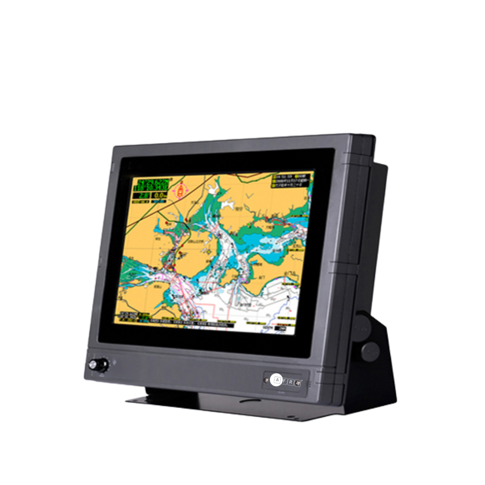
The Aframarine 15-Inch Multi-Functional Marine GPS Navigator is a professional marine navigation system that integrates GPS navigation and chartplotter functions. Its high-resolution 15″ display (1024×768) delivers clear and detailed images, while the large-capacity flush memory stores extensive navigational data for enhanced operational efficiency.
The navigator uses WGS-84 base maps and provides rich chart data including marks, reefs, shipwrecks, dangerous waters, and isobaths, helping to improve voyage safety. It supports AIS equipment connectivity, rapid chart display, and regular map updates, making it a reliable tool for professional mariners and recreational sailors alike.
Key Features:
-
Integrated GPS navigator and marine chartplotter functions
-
15″ high-resolution XVGA display for clear chart viewing
-
Fast chart display and regular map updates
-
Large-capacity memory for storing routes, tracks, and waypoints
-
WGS-84 base maps with detailed nautical data (marks, reefs, shipwrecks, dangerous waters, isobaths)
-
AIS equipment connection port
Specifications:
| Project | Data |
|---|---|
| Display Size | 15″ |
| Resolution | XVGA 1024 × 768 |
| GPS Receiver | 12 Channels GPS |
| Frequency | 1575.42 MHz |
| Updating Speed | 1 time/second |
| Waypoints | 6,000 points |
| Tracks | 800 pieces |
| Routes | 200 lines |
| Data Interface | NMEA0183 / RS422 |
| Power Supply | DC 24V |
| Working Temperature | -15℃ to +55℃ |
| Dimension | 405.5 × 398.9 × 128 mm |
Reviews
There are no reviews yet.