Description
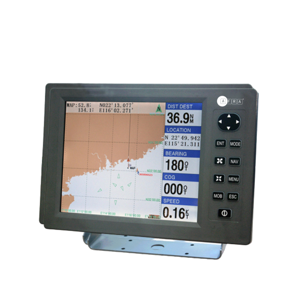
The Aframarine 12-Inch GPS and Chartplotter Combo is a professional-grade marine navigation system designed for accurate, efficient, and reliable guidance. Powered by a fast ARM9 processor, it delivers rapid chart and image display, advanced software functionality, and a professional operation interface.
This combo unit integrates GPS navigator and marine chartplotter functions, offering large-capacity map storage for precise and direct navigation. It is waterproof, resistant to harsh marine conditions, and supports rapid GPS positioning. With multiple data interfaces, it seamlessly connects with other onboard marine equipment.
Key Features:
-
12″ TFT LED display, clear under sunlight
-
Fast ARM9 processor (260 MHz) for rapid operation
-
Large-capacity storage for detailed nautical charts
-
Combined GPS navigator and chartplotter functionality
-
Waterproof and resistant to harsh environmental conditions
-
Rapid GPS positioning
-
Multiple data interfaces for seamless connectivity
Specifications:
| Project | Data |
|---|---|
| Display Size | 12″ (246 × 184.5 mm) LCD |
| Resolution | 800 × 600 |
| External Dimension | 370 × 242 × 83 mm |
| Antenna | 8 m marine antenna |
| Interface | NMEA0183, USB Interface, AIS interface |
| Working Temperature | -30℃ to +65℃ |
| Hidden Temperature | -35℃ to +75℃ |
| Power Supply | DC 10V–38V, 4W |
| GPS Receiver | 16 Channels GPS |
| Accuracy | 7 m (CEP) |
| Positioning Time | Hot Start: 15 s; Cold Start: 45 s |
| Positioning Update Data-Rate | Once per second |
| Waypoints | 18,000 |
| Routes | 50 (each route including 300 waypoints) |
| Base Map | China’s river system, nautical chart (upgradeable via USB) |
Reviews
There are no reviews yet.